MNemo
Automated Cave Survey
Data Acquisition
While you swim in the cave and you want to survey, simply clip MNemo on the line.

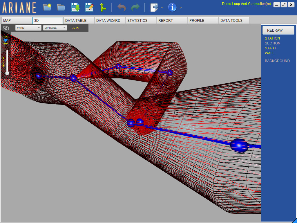
Ariane
Cave Survey Software
with 3D Stick Map
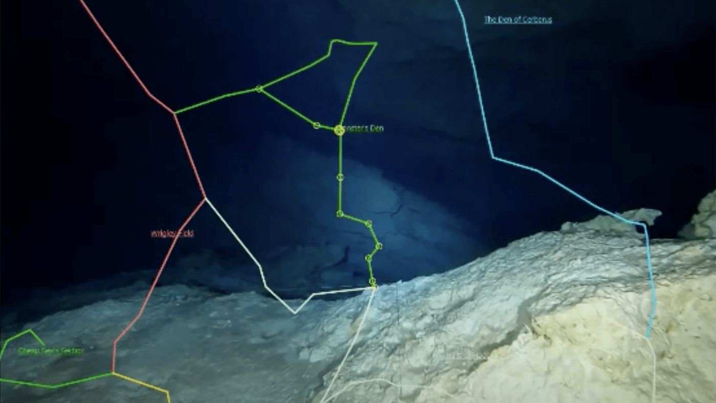
Stick map building on Google Earth.
Windows, Mac OSX & Linux.
Do you want to do fast and accurate cave survey ?
When you prepare your cave diving equipment, don’t forget your MNemo. While you swim in the cave and you want to do cave survey data acquisition, simply clip MNemo on the line. Stabilize a couple of second, swim at normal pace until the next tie-off. Stabilize again a couple of seconds, unclip and re-clip after the tie off, repeat … MNemo records the length of the line you just swam along, the depth/tilt angle at start, at the end, as well as the heading. These data get directly integrated in your favorite 3D cave mapping software: Ariane.